Records broken
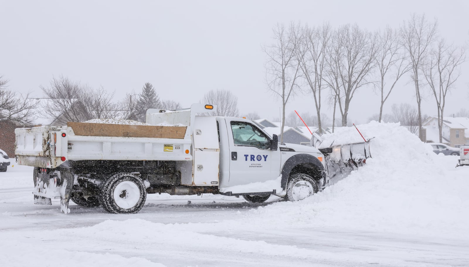
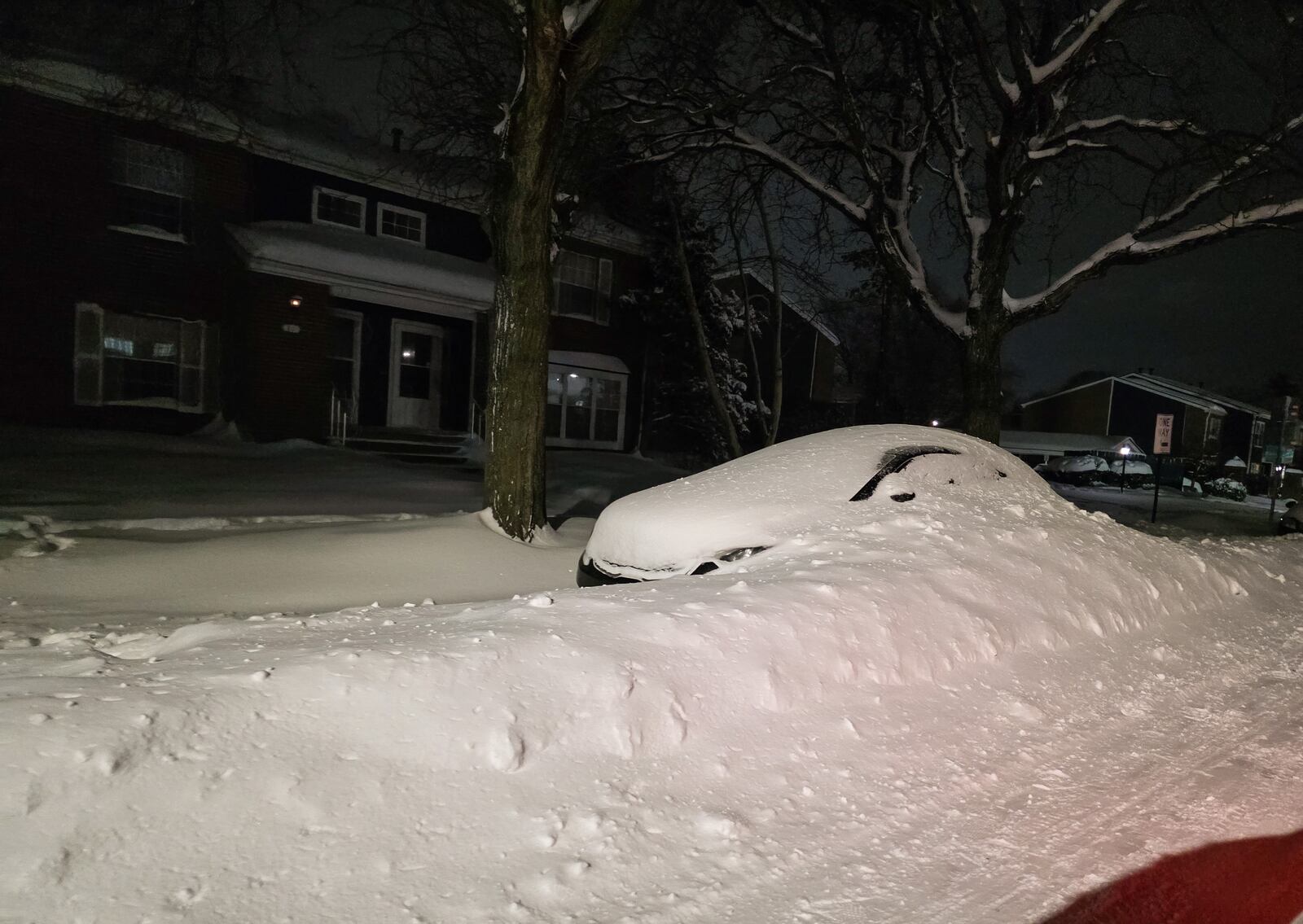
The winter storm that dropped a thick blanket of snow over the weekend broke two records.
The first record was the most local snowfall for Jan. 25, with 12.4 inches of snow crushing the prior record set of 5 inches of snow on Jan. 25, 2023.
The more impressive record, though, is that this is the single most snow to fall in this area in one day ever recorded. Before this weekend, the most snow to fall in a single day happened during the blizzard of 1978, when 12.2 inches of snow fell on Jan. 26.
While not record-breaking, Hatzos also said that the combined total of 14 inches of snow for the two days of the storm is the fourth highest total for two-day snowfall – the highest total was Feb. 16-17 in 1910, when 18 inches of snowfall was recorded.
Before the storm
One factor that went into having so much snow had to do with conditions before the storm arrived, Hatzos said.
Cold temperatures before the snow fell made it so that the flakes wouldn’t melt when they touched the ground, and instead start piling up right away.
During the storm
A few different factors about the storm itself led to high snow totals.
One was the kind of snow that fell, which was light and fluffy, stacking up easily as it fell.
On a similar note, most of the area had very little sleet or rain mixed in, which Hatzos said did happen in far southern Ohio and Cincinnati, which saw some sleet along with the snowfall.
Another was the size of the storm system itself, which Hatzos said from beginning to end reached from New Mexico in the Southwest through Texas and more of the deep South, up through Ohio and Tennessee and up off the East Coast.
Finally, the snow storm didn’t come with very high winds, which sets it apart from the blizzard of 1978. During the storm in the 1970s, high winds dropped visibility to zero, leading vehicles stranded, including emergency vehicles and snow plows.
Measuring up
After the snowfall, the NWS in Wilmington received snow measurements from across the region, which Hatzos said come from a few different sources.
Sources include trained weather spotters; special weather observers that track statistics; volunteer members of the Community Collaborative Rain, Hail & Snow Network; and various government partners in each county that also deal with the effects of precipitation, such as emergency management agencies.
The NWS encouraged residents to measure the snowfall themselves, as well.
Hatzos said that the most important things are that you measure on a flat surface away from any obstruction like houses or vehicles.
He said that one good possibility is to lay out a piece of plywood, then use a ruler or yardstick to measure straight up and down.
If you don’t have plywood or another flat surface to measure on, though, Hatzos said a good method is to measure a few places, making sure to stay away from obstructions and snow drifts, then take the average of those measurements.
Staying safe
As the cold temperatures continue, Hatzos encouraged people to check on their neighbors and loved ones, as well as to bring pets inside.
“It’s not going to get a whole lot warmer in the next week or so,” he said, and extended cold temperatures can be dangerous.
About the Author


